
Strait of Hormuz Traffic Remains Far Below Normal—Why Kharg Island Matters
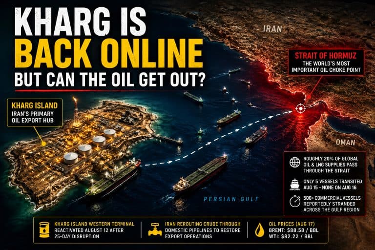
Shipping traffic through the Strait of Hormuz remains far below normal levels, highlighting the continued uncertainty facing oil shipments from the Persian Gulf—including tankers departing Iran’s Kharg Island export terminal.
Reuters reported that eight vessels crossed the Strait of Hormuz on August 4, 2026: five tankers and three bulk carriers. Although that was similar to the previous day’s recorded traffic, it remained dramatically below the approximately 130 to 140 daily transits typically observed before the recent disruption.
The numbers provide an important—but incomplete—view of current maritime activity. Some vessels may be operating with their Automatic Identification System, or AIS, transmissions disabled, making them difficult to detect using ordinary commercial ship-tracking services.
Why the Strait of Hormuz Matters
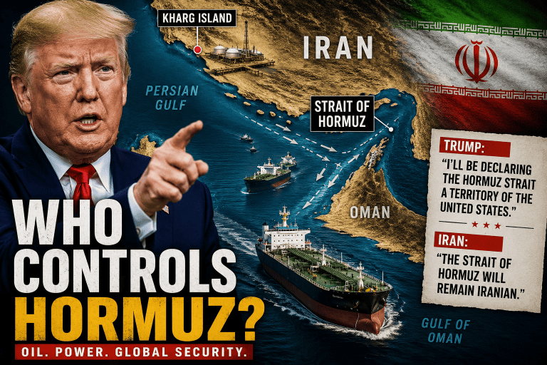
The Strait of Hormuz is a narrow waterway connecting the Persian Gulf with the Gulf of Oman and the Arabian Sea. Every conventional tanker sailing from Kharg Island to international markets must pass through this strategic chokepoint unless its cargo is transferred or redirected through alternative infrastructure.
The U.S. Energy Information Administration has described the Strait of Hormuz as the world’s most important oil transit chokepoint. In 2022, approximately 21 million barrels of petroleum liquids passed through the strait each day—equal to roughly 21 percent of global petroleum liquids consumption at the time.
The waterway is especially important to Asian energy markets. According to the EIA, approximately 82 percent of the crude oil and condensate that passed through the strait in 2022 was destined for Asia. China, India, Japan and South Korea were among the leading destinations.
This combination of high shipment volumes, limited alternative routes and geographic concentration gives the strait an influence over energy markets far beyond its relatively small physical size.
Kharg Island’s Connection to the Strait
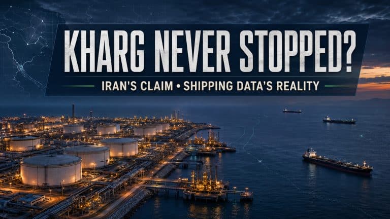
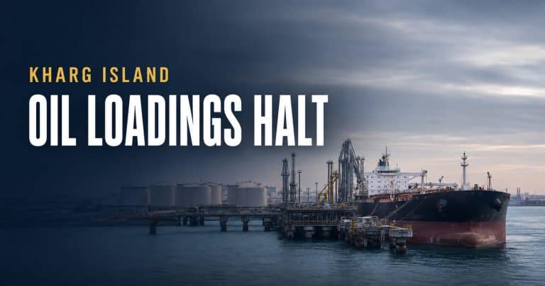
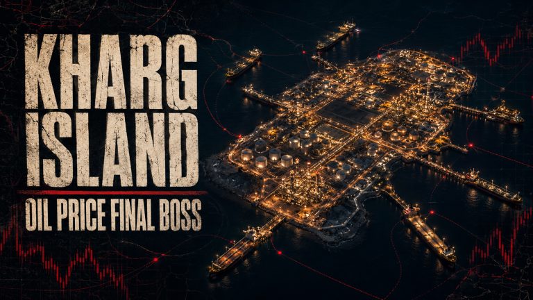
Kharg Island is Iran’s principal offshore crude oil export center. Located in the northern Persian Gulf, the island contains tanker berths, storage facilities and pipelines connecting it with oil-producing regions on the Iranian mainland.
After crude oil is delivered to Kharg Island, it can be stored, processed for export and loaded aboard tankers. Those vessels then travel southeast through the Persian Gulf before reaching the Strait of Hormuz.
This means that Kharg Island and the Strait of Hormuz function as two connected parts of the same export route. Kharg provides the infrastructure needed to load large volumes of crude oil, while the strait provides access to the open ocean and overseas customers.
Operations at Kharg could theoretically continue during a period of reduced traffic through the strait, but limited outbound tanker movement would eventually create logistical pressure. Storage tanks have finite capacity, and export terminals depend on the regular arrival and departure of vessels to maintain an efficient flow of oil.
What AIS Data Can—and Cannot—Show
Much of the publicly available information about tanker traffic comes from AIS transmissions. AIS allows vessels to broadcast information including their identity, location, speed and direction of travel.
The system helps prevent collisions and allows port authorities, shipping companies and independent analysts to monitor maritime traffic. It is also useful for identifying ships approaching Kharg Island, waiting offshore or traveling toward the Strait of Hormuz.
However, AIS does not provide a flawless or complete record.
Signals can be interrupted by equipment problems, poor reception or deliberate interference. Ships can also stop transmitting, report inaccurate positions or manipulate identifying information. These practices are sometimes associated with vessels attempting to conceal sanctioned oil shipments, although a missing AIS signal alone does not prove illegal activity.
As a result, low visible traffic should not automatically be interpreted as a complete halt in shipping. The recorded numbers show what tracking systems can observe—not necessarily every ship operating in the region.
The Role of Satellite Imagery
Satellite imagery provides another way to examine activity around Kharg Island and the Strait of Hormuz. Optical satellites can show tankers near loading terminals, vessels anchored offshore and changes in port activity when skies are clear.
Synthetic aperture radar, commonly called SAR, can detect ships at night and through cloud cover. It can therefore identify vessels that may not appear on public AIS services.
Combining AIS records with optical and radar satellite imagery produces a more reliable picture than relying on any one source. Even then, analysts must be careful about drawing conclusions from a single image or short period of observation.
A tanker seen near Kharg Island may be loading oil, waiting for a berth, undergoing maintenance or simply passing through the area. Multiple observations over time are normally needed to establish a meaningful pattern.
Potential Effects on Oil Markets
A sustained reduction in traffic through the Strait of Hormuz could affect shipping schedules, insurance costs and crude oil prices. Shipowners may delay voyages or demand higher rates when security risks increase. Insurers may also raise war-risk premiums for vessels operating in or near a conflict zone.
The effects would not be limited to Iranian exports. Oil and natural gas shipments from several Persian Gulf producers depend heavily on the same passage.
Saudi Arabia and the United Arab Emirates operate pipelines that can move some oil around the strait, but bypass capacity is limited compared with the total volume normally transported through the waterway. Iran has also developed the Goreh–Jask pipeline and the Jask terminal on the Gulf of Oman, but Kharg Island remains central to the country’s oil-export system.
Because there are few practical alternatives capable of replacing the strait’s full shipping volume, even a temporary disruption can create delays and increase transportation costs.
What to Watch Next
Several indicators may help determine whether regional shipping activity is beginning to recover:
• The number of tankers visibly crossing the Strait of Hormuz
• Tanker arrivals and departures around Kharg Island
• Changes in vessel speed, anchoring patterns and reported destinations
• Maritime security warnings and insurance-rate changes
• Satellite observations of activity at Kharg Island’s loading facilities
• Oil-export estimates published by independent tracking organizations
No single indicator provides a complete answer. However, examining these signals together can help distinguish a temporary slowdown from a more sustained disruption.
A Critical Link in the Global Oil System
Kharg Island’s importance cannot be separated from the geography of the Persian Gulf. The island may contain the infrastructure needed to store and load Iranian crude oil, but the Strait of Hormuz remains the essential maritime gateway connecting those exports with the wider world.
The current decline in recorded vessel traffic demonstrates how quickly regional developments can affect shipping patterns. It also reinforces why analysts monitor Kharg Island, tanker movements and the Strait of Hormuz as interconnected parts of the global energy system.
As conditions change, satellite imagery, AIS information and official shipping reports will remain important tools for evaluating activity. Each source has limitations, but together they provide valuable insight into one of the world’s most strategically significant oil-export routes.
Sources
Reuters, “Gulf shipping traffic steady amid uncertainty of peace talks,” August 5, 2026:
https://www.reuters.com/world/middle-east/gulf-shipping-traffic-steady-amid-uncertainty-peace-talks-2026-08-05/
U.S. Energy Information Administration, “The Strait of Hormuz is the world’s most important oil transit chokepoint,” November 21, 2023:
https://www.eia.gov/todayinenergy/detail.php?id=61002